
sutton springs
Suttons East and West
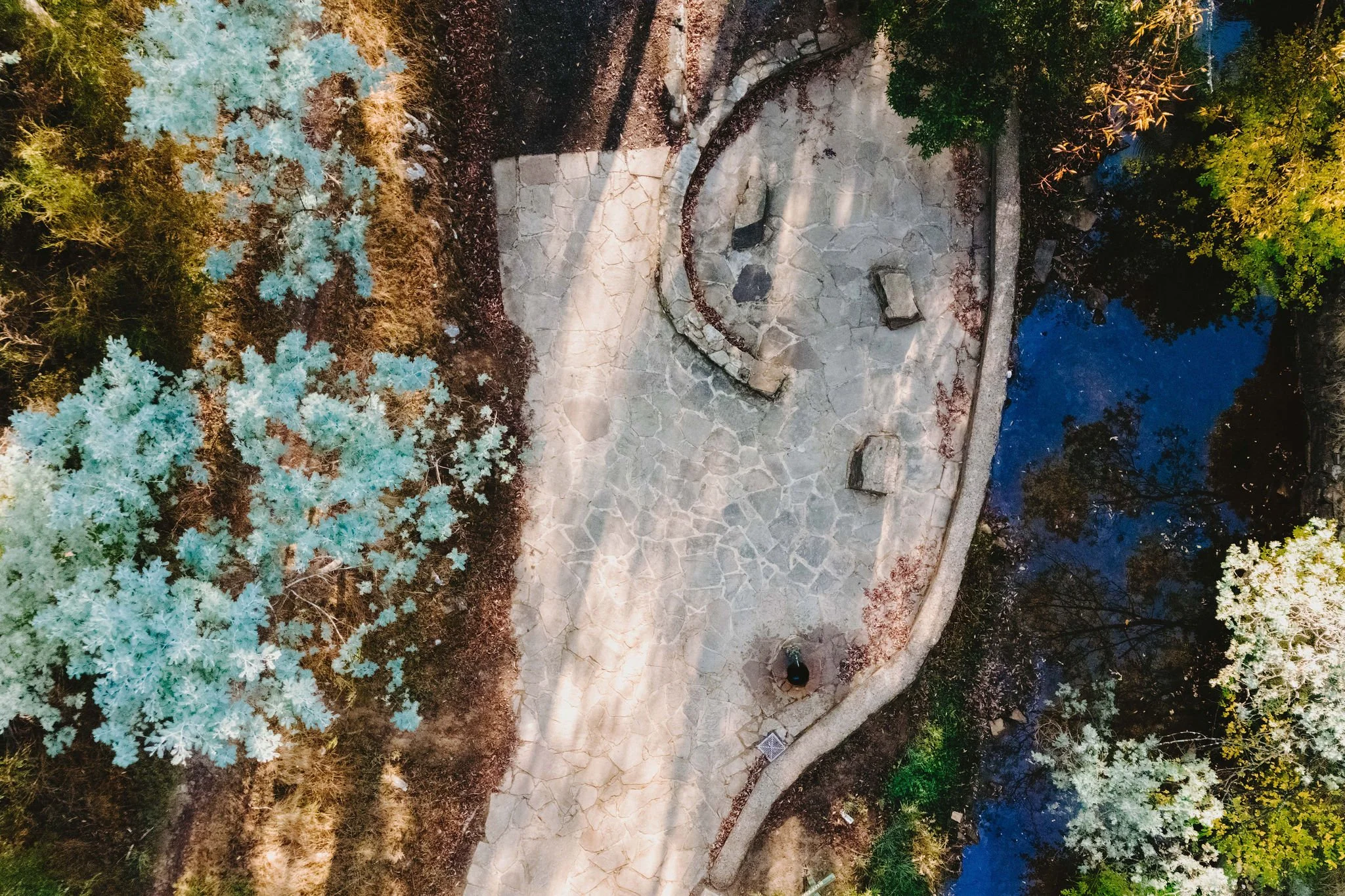
This historic site provides a fascinating peek into the past and at the same time is a beautiful spot to enjoy a peaceful setting while viewing the gas bubbles that emerge from the base of Wombat Creek over a distance of 10-20 m either side of the Springs bridge. The original Sutton Spring trench may be viewed, and two pumps allow you to taste the mineral water.
The spring is named after the Sutton brothers of Cornwell, who discovered it while looking for alluvial gold along Wombat Creek in the 1850s.
By 1900, a trench had been dug to expose the spring, and a pipe had been driven through the spring eye. Sandstone rockwork encircled the trench. On 27 February 1907 the Sutton Mineral Spring Reserve was gazetted. By that time the trench had been enlarged and rendered, and a lean-to shelter had been built over the approach track.
In 1927 Wombat Creek was rerouted allowing the land around the spring to be cleared and pipework repaired. Five bores were dug in 1929 and equipped with hand pumps. The bores were all shallower than 9.7 m. An attempt was made to replace one of these bores with a new bore, however it was not possible due to ground instability. These two bores are the oldest of all the mineral springs open to the public.
Also in 1929 Council contemplated encouraging private enterprise to establish a ‘hydrobath’ similar to those in Europe, after mineral water had been discovered flowing from several other vents in sandstone and slate strata below the typical level of the creek. However, the option was not enacted although at the time to capture the flow another bore to a depth of 15m was sunk.
In 1936 architect P. Scott Williams adopted a similar notion and examined the prospect of establishing a Hydropathic establishment above Sutton Springs, assuming a reliable mineral water supply could be found. That idea also lapsed.
In October 1997 the Sutton Spring trench was restored to enable the public to again take mineral water at the spring. The restoration included clearing the sides of the creek and removing willow root growth.
In 2002 a major overhaul of the trench and its underground works was undertaken and all plumbing replaced. This involved re-routing the creek through sandbagging, covering the spring eye with geofabric and then concrete. Unfortunately due to ongoing water quality issues, public access to take water from the trench was closed, however the trench can still be viewed.


GETTING THERE:
You can enter the region via two main freeways: The Western Freeway, connecting Ballarat to Melbourne, runs along the southern border of our region. For a more scenic route, exit at the Greendale-Myrniong Road and pass through Blackwood and Trentham. For a more direct route to Daylesford exit at Ballan. If you are travelling to Creswick, Clunes and Talbot, take the exit at Bungaree, or head north through Ballarat.
Features include:
A paved picnic area with a BBQ, picnic tables and an indigenous-inspired shelter
Directional and interpretative signage
Landscaping with plenty of seating opportunities to take in the beautiful surrounds
Cafe and Restaurant
Children’s playground
Walking trails
Fishing area
Toilets
Managed by: Hepburn Shire Council