Carrolls Mineral Spring
Carroll’s Mineral Spring, is located in the heart of the Wombat State Forest at the end of Carroll’s Track.
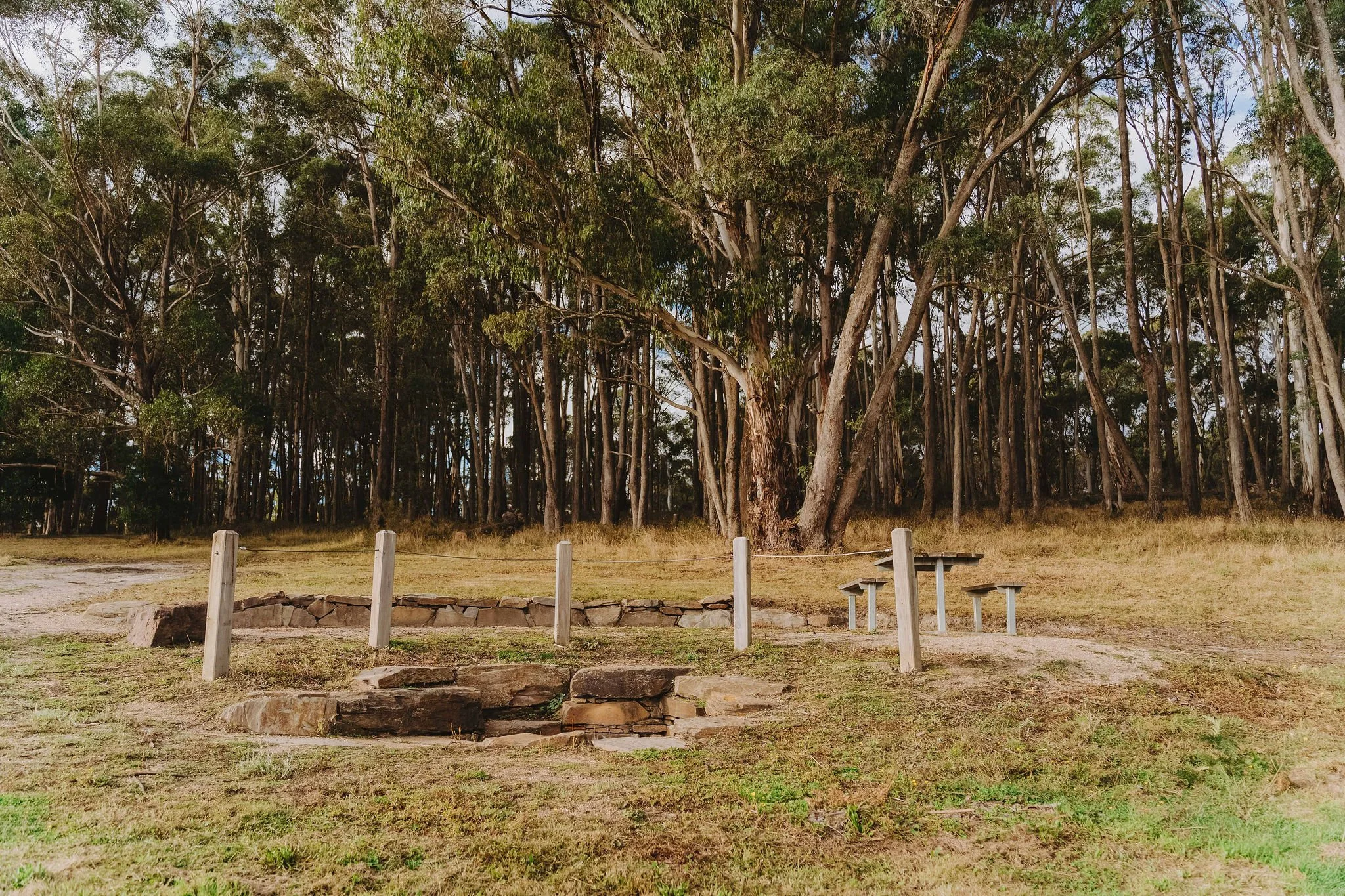
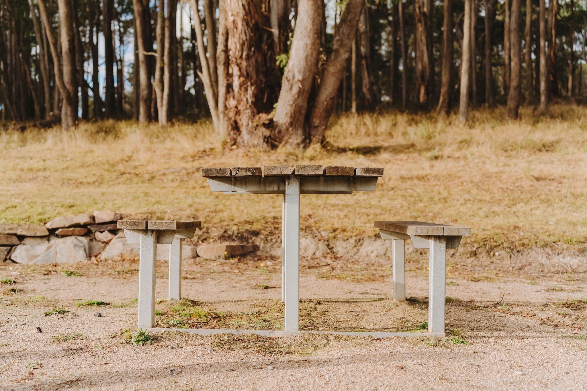
You can easily spot the mineral spring thanks to a picnic table and a sign pointing towards the Werribee River picnic area, just a 1.4km walk away. The spring itself is set in a stone circle with its flow discharged through a small copper pipe set into the wall.
Its discovery date is unknown, however it is mentioned in glowing terms in a 1921 article first published in “The Argus” entitled “Ballan and District. A Tourist Resort.” By Mr Hy. Foster, the Geological Surveyor for the Mines Department:
“Farther along and on the track to Spargo Creek is Carroll’s mineral spring, on the Werribee River, a visit to the spot providing a most picturesque walk along a track through heavily-timbered, hilly country that for natural beauty is hard to excel.”
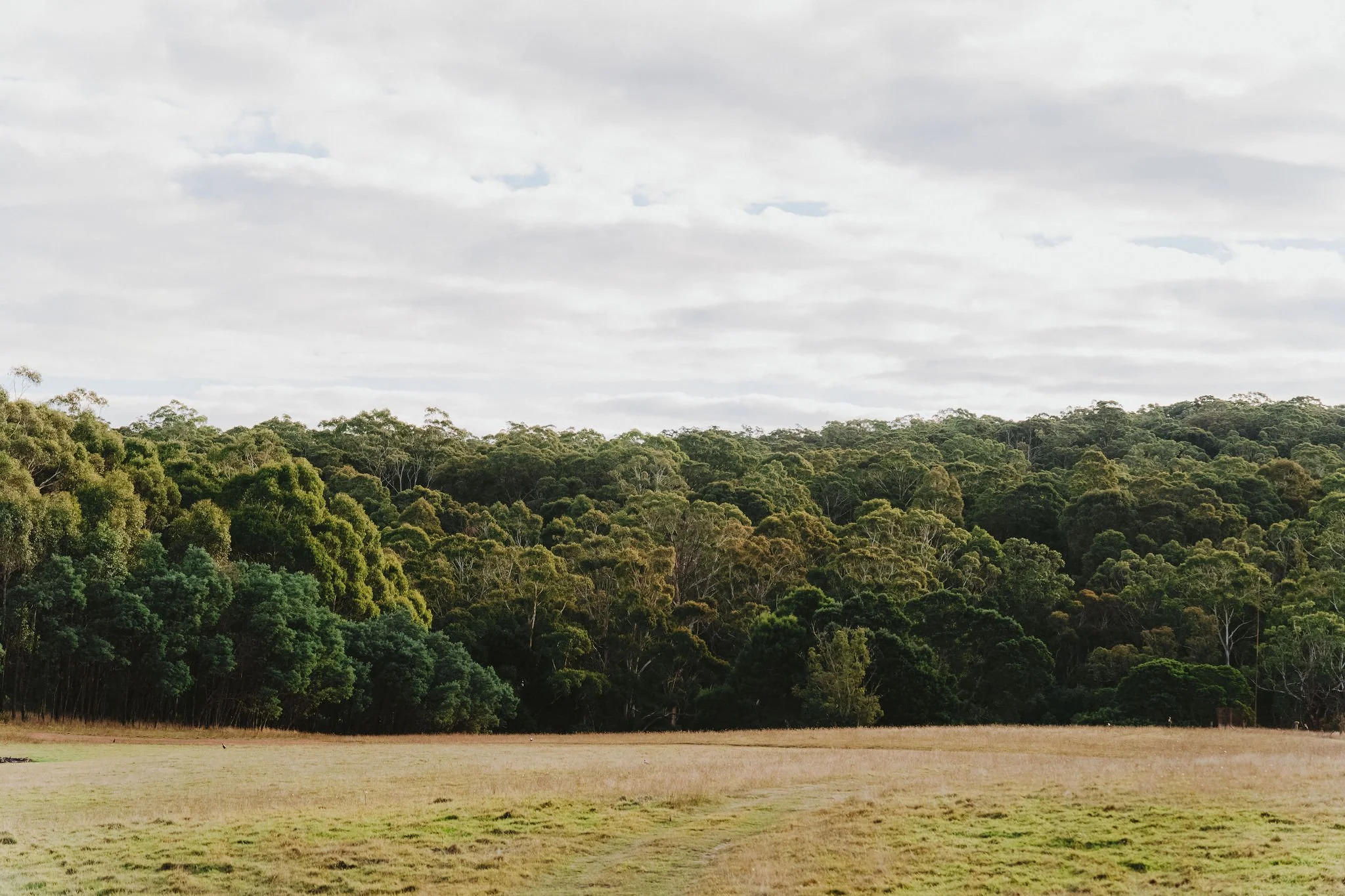
Its location on the banks of the Werribee River, surrounded by beautiful native forest and abundant local birdlife, makes it a delightful spot for a relaxing day out or for bushcamping. If you wish to camp you must be self-sufficient.


GETTING THERE:
The spring is accessed via 6.5 kilometres of unsealed roads. Note that it's important to drive cautiously and adapt to the road conditions.
Head south out of Daylesford on the Ballan-Daylesford Road for approx. 16km to Spargo Creek, turn left down the Spargo-Blakeville Road for 1.4km. Turn right into McGees Road for 2.6km, then right at Carrolls Track and continue for 0.6km to a cleared area. Park and walk 50m to the spring and picnic table.
Features include:
Scenic reserve
Picnic tables
Camping area
Managed by DEECA